Today we had to climb Shuroobod pass and descend into the Panj Valley. The valley is named after the Panj River which separates Tajikistan from Afghanistan on a length of several hundred kilometers.
Starting early in the morning again
Just like the night before, we slept again at some local farmer’s house. This time we knew the drill, the farmers will get up at dawn to get the most out of their day. And this was again 5:00. But this time, we really appreciated it, because for climbing a pass of 1400 m altitude difference in the sun, we were happy to not get the full heat of the afternoon.
Tedious climb
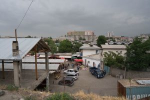
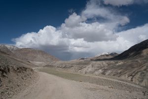
After the city Kulob, Tajikistan’s third largest city with around 100’000 inhabitants, we started our ascent. At first the road was quite nice, and it was a moderate climb. But after about half the altitude, the road turned into a dirt road with lots of holes and the tarmac was barely visible anymore. At the same time, there were some very steep parts and the road was also exposed fully to the sun. This cost a lot of energy and we had to stop a few times on the way up to refresh ourselves. As there were no shops along the way, we usually took water from springs. The water looked very clear, and I actually risked drinking it unpurified. So far I don’t regret that. On the way up we also got to see some tanks in front of an army base. We could somehow feel that we approach the Afghan border slowly, even though everything was peaceful.
After a bit more than 5 hours of climbing, we finally reached the village Shuroobod, which at the same time was the top of the pass. But before entering the village, we had to pass a military checkpoint because we were entering the autonomous region of Gorno-Badakhshan. For this region, a special permit that can be obtained together with the visa is necessary. For Anne and me, who had both an e-Visa, this was no big deal, but for Lucie first they said she cannot enter. But after disappearing for a few minutes with our passports, the Captain came back with the passports and everything was fine. In the meantime, Anne was taking some pictures with one of the soldiers who did not care too much about military correctness.


Descending into Panj Valley
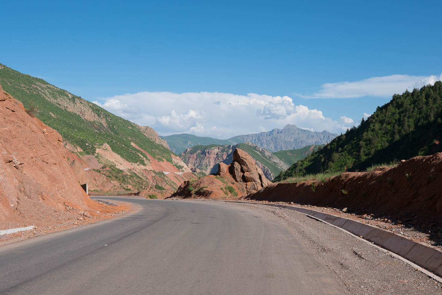
After another extensive lunch in Shuroobod, we then started our 1000 m descent to the Panj Valley and hence to the Afghan border. The road started very nicely with perfect tarmac, but as it turned out, it was under construction in various places. So instead of a speedy descent, we had to cycle through loose gravel again and again. We were in the end happy to finally reach the valley floor with beautiful views on the Hindu Kush on the other side of the Panj River. Afghanistan was now only a few kilometers away and we could see villages on the other side that looked just like the Tajik villages on our side. It is hard to believe that this country is currently at war.
For those who did not read my previous post: We will follow now the Panj river and hence the Afghan border for a few hundred kilometers. This will give us a lot of impressions also of Afghanistan’s mountainous regions, but we will NOT cross the river to Afghanistan as it is politically too unstable.
For the night we will stay at a family again. It is nice to see that even in far remote regions such as the Pamirs, the hospitality of the people living here is still outstanding.


Detailed Track
Max elevation: 1910 m
Min elevation: 531 m
Total climbing: 2987 m
Total descent: -2644 m
Total time: 11:21:44